
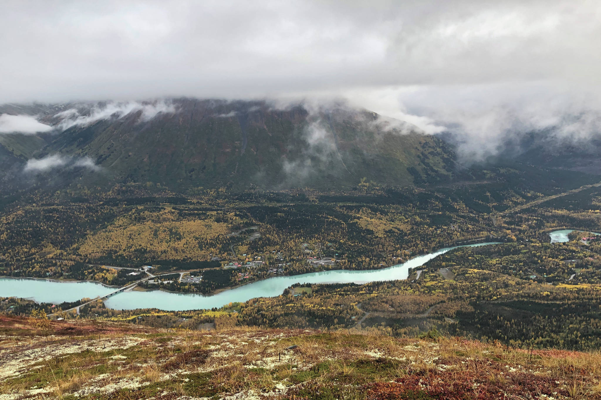
The Department of Transportation plans to officially begin construction next year on a project that would reroute the Sterling Highway and bypass Cooper Landing to the north.
The Sterling Highway MP 45-60 Project, also known as the Cooper Landing Bypass Project, includes the design and installation of a bridge running across Juneau Creek Canyon that will be the largest bridge in Alaska when completed. Last Tuesday, officials from DOT and engineering firm HDR Alaska spoke with residents of Cooper Landing to discuss the details of the project design and a time line for construction.
The route for the project — also referred to as the Juneau Creek Alternative — has the highway running north of Cooper Landing and was one of four possible routes discussed in the Environmental Impact Statement for the project. A Record of Decision formally selecting this alternative was announced by the Federal Highway Administration in May of 2018.
During the presentation in Cooper Landing, DOT Project Manager Sean Holland and HDR Senior Vice President Mark Dalton explained how the different phases of construction for the Juneau Creek Alternative will look, as well as estimated costs and timetables for each phase.
Project managers said that they currently have two main priorities for the project: to get “meaningful” construction completed for phase 1 by the end of 2020, and to have the road finished and open to traffic by 2025.
Phase 1 of the project will address two 2-mile segments of existing highway on either side of Cooper Landing. Part of the goal of phase 1 is improve current road conditions by adding passing lanes, widening existing lanes and shoulders and straightening portions of the road, project engineer Matt Stone said on Tuesday.
Design of the west end is expected to be completed by the fall of 2020, and design for the east end has a completion date of spring of 2021.
The eastern end of the project will include a new pedestrian pathway that will connect the Sunrise Inn to Cooper Landing and replace the existing safety path.
The east end of the project will be located between Miles 45 and 47 of the Sterling Highway. Dalton said that the new highway will break off at Mile 46.3, climb the northern hillside and run parallel to Cooper Landing. The proposed bridge across Juneau Creek Canyon will be located just south of Juneau Creek Falls and have a 200-foot rise, Dalton said. Bridge design and construction is part of phase 2 and is not expected to begin until 2021.
As part of construction, a new pullout for traffic will be installed east of Juneau Creek. Two trail crossings will also be put in place under the new highway, one for Slaughter Gulch Trail and another for Bean Creek and Resurrection Pass Trail, and a new trailhead for Resurrection Pass will be installed to create a loop in the trail system.
As the new highway moves west, it will reconnect with the old Sterling Highway at Mile 55.8. The west end of phase 1 construction will consist of everything past that connection from Mile 56 to Mile 58. Construction on the west end will include replacing two existing vehicle pullout and parking areas, installing two wildlife under-crossings, and installing a new trailhead for the Fuller Lakes Trail.
A preliminary analysis of the project estimated the total cost of the project to be about $375 million, Holland said. That includes about $111 for construction of the bridge over Juneau Creek Canyon and about $96 million for phase 1 construction. Ninety percent of the project’s funding will come from federal dollars, and the remaining 10% will be covered by the state as part of the State Transportation Improvement Plan. Holland said that the project currently has about $21 million on hand and will be receiving about $60 million each year until 2025.
The next public meeting for the Cooper Landing Bypass Project will be in February of 2020, and public meetings will be conducted quarterly over the duration of the project. To learn more, visit www.Sterlinghighway.net.
