
ANCHORAGE — Researchers from the U.S. Geological Survey have solved a 50-year natural science mystery: the undersea source of tsunami waves that devastated a remote Alaska village following the 1964 Great Alaska Earthquake.
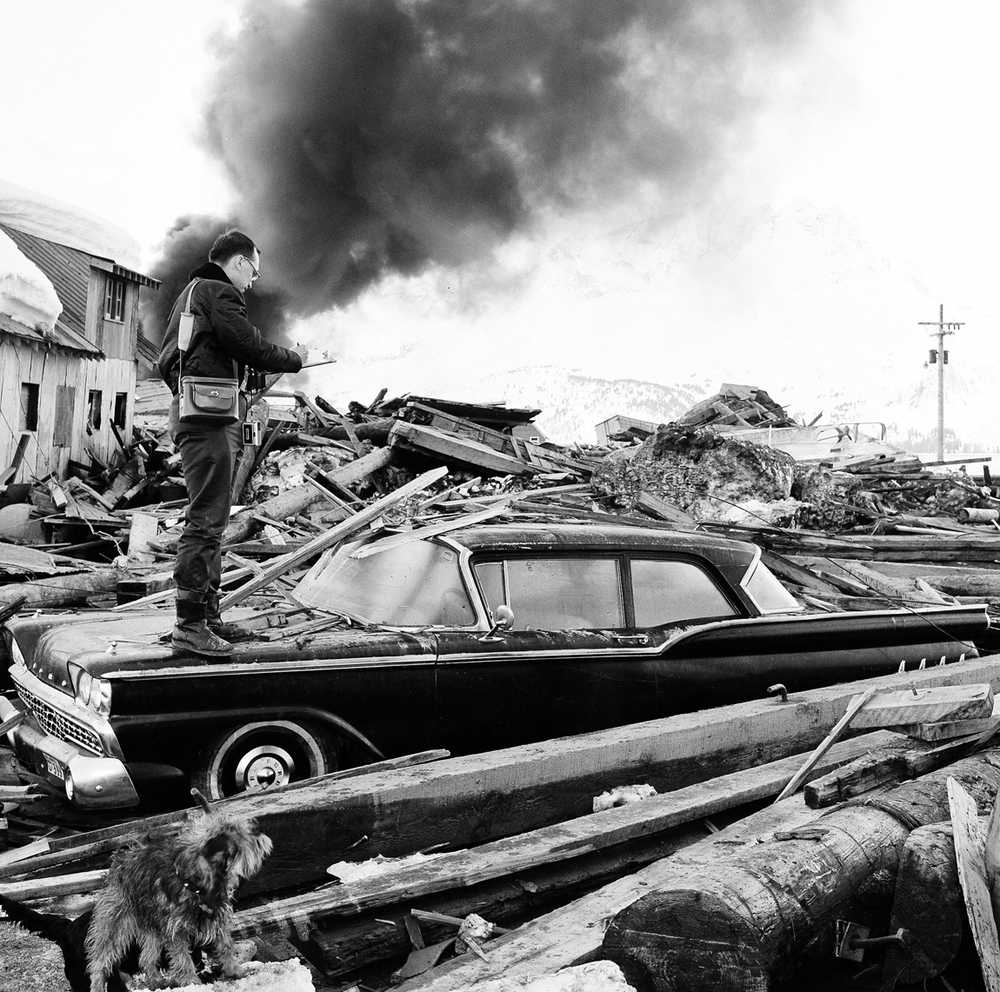
Underwater landslides at depths of 820 to 1,150 feet — much deeper than those that caused tsunamis affecting other communities — sent killing waves toward the Prince William Sound community of Chenega, where 23 of 75 residents died and all but two buildings were destroyed.
The villagers had little time to get to high ground. The epicenter of the magnitude 9.2 quake, which shook Alaska for four and a half minutes, was about 56 miles away. Deadly waves hit Chenega four minutes later.
Nine people died in Anchorage, Alaska’s largest city, from the quake, the second largest in recorded history.
Many more were killed by tsunamis. The great quake rumpled the ocean floor like a rug, creating a trans-ocean tsunami that sent deadly waves down the West Coast. Four campers on a beach died at Newport, Oregon. A dozen died in the Northern California community of Crescent City.
Local tsunamis were more deadly. An estimated 85 of the 106 Alaska tsunami deaths were caused by waves generated by underwater landslides that hit within minutes. In Valdez, now the terminus of the trans-Alaska pipeline, water at first retreated from shore in response to an underwater slide, then swept back in, smashing a freighter at the city dock and killing longshoremen and children who had come to meet it.
Tsunamis that devastated Valdez, Seward and Whittier were in relatively shallow water to 330 feet. But the source of the waves that hit Chenega, 50 miles east of Seward, remained unknown.
George Plafker USGS geologist emeritus, one of the first responders after the ‘64 quake, said in a USGS release that geologists suspected an underwater landslide had led to devastation at Chenega.
“But we had no adequate submarine data to define either the size or location of the landslide sources,” Plafker aid.
Researchers led by USGS geophysicist Danny Brothers mapped an underwater landslide complex in nearby Dangerous Passage using multi-beam sonar and ground-penetrating tools that showed cross-sectional views of sediment layers, revealing a history of landslides.
The study found three basins covering 10 to 15 miles along Dangerous Passage, a fjord. Each basin was progressively deeper. The basins are bound by steep sides and were carved by glaciers when sea level was lower.
Brothers said Monday the basins are like a series of bowls setting on shelves at different heights. As glaciers retreated, sediment from rivers filled the underwater basins with unstable sediment washed from land. The earthquake spilled the second bowl.
“The intermediate basin filled up with sediment, setting the stage for this instability, and the trigger that occurred when this earthquake struck,” Brothers said.
The huge delta of unstable sediment descended down a steep escarpment into the third basin in a giant underwater landslide, Brothers said. The “avalanche of sediment” created the wave that struck Chenega.
The 1964 quake and the tsunamis played a role in the formation of the West Coast and Alaska Tsunami Warning Center, renamed the National Tsunami Warning Center, operated by the National Oceanic and Atmospheric Administration. The center within minutes of a quake can put out alerts to warn West Coast and Hawaii communities that a big wave is headed their way.
Most Alaska communities vulnerable to local tsunamis have tsunami siren systems that can be activated by local emergency officials to warn residents to head for high ground.
The research has implications for other communities along deep-water fjords.
“There are other places where we could go and target with these tools and go back and reassess whether a submarine landslide was responsible for those waves that were observed but unattributed to a particular source,” Brothers said.
