
Editor’s note: This story has been corrected to show that the land swap between Cook Inlet Region, Inc. and the U.S. Fish and Wildlife Service would exchange CIRI-owned land around the Killey River for Fish and Wildlife-owned land north of the Sterling Highway.
The announcement that the U.S. Department of Transportation would reopen consideration of the alternative routes for the proposed highway project to bypass Cooper Landing was met with relief on the Kenai Peninsula.
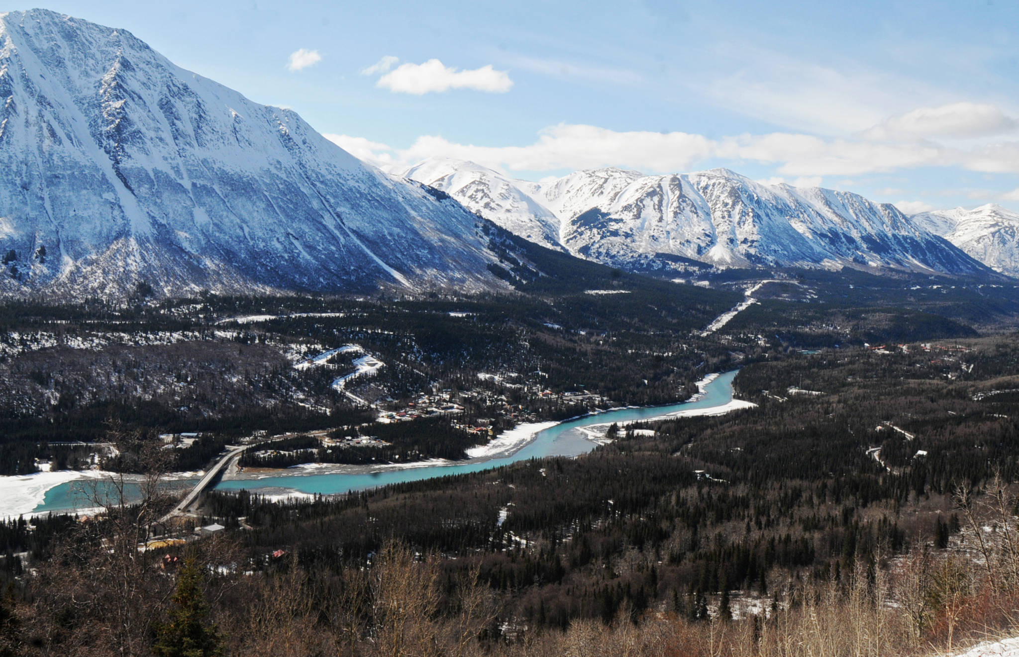
The project, officially known as the Sterling Highway Milepost 45–60 Project, has been on the federal register for more than 40 years. But after the Alaska Department of Transportation and Public Facilities announced its selection of a preferred route in December 2015, many on the peninsula came out against the department’s decision. The route chosen, known as the G-South Route, runs along the Kenai River’s north side and requires an additional bridge, raising concerns about the potential for accidents that impact the river.
The most commonly preferred route among members of the public who have weighed in on the environmental impact statement for the project and the public agencies and governments is called the Juneau Creek Route, which takes the highway up through the hills north of Cooper Landing, away from the river, and rejoins its current route past the town. The department did not pick the route initially because it crosses federally designated wilderness land and bisects the Resurrection Pass Trail as well as impacting other hiking trails in the area.
A group of 19 public agencies, including the Kenai Peninsula Borough and the governments of the Kenaitze and Salamatof tribes, sent a letter in early October 2016, asking the state to reconsider the G-South Route.
So when Transportation Secretary Elaine Chao announced Thursday in a press conference with Sen. Dan Sullivan (R-Alaska) and Alaska Department of Transportation and Public Facilities Commissioner Marc Luiken that the U.S. Fish and Wildlife Service had agreed to a key land swap with Cook Inlet Region, Inc., an Alaska Native regional corporation, that would set some of the pieces in motion for the Juneau Creek route, some on the Kenai were breathing sighs of relief.
“I’m glad,” said Kenai Peninsula Borough Mayor Mike Navarre. “We’ve been pushing in that direction since the proposed G-South Route was announced because we think the Juneau Creek Route is better in the long term for everybody.”
The G-South Route’s estimated cost is significantly more than the Juneau Creek Route, adds an extra bridge crossing over the Kenai River and doesn’t move traffic far from the river for most of its length. The Juneau Creek Route handles more of the congested areas and will address the environmental concerns, Navarre said.
The borough has been working with the various agencies on the peninsula and has had conversations with the Federal Highway Adminstration and Sullivan’s office to try to get the G-South Route selection reevaluated, he said. The Kenai Peninsula Borough Assembly took a formal stance through a resolution opposing the G-South Route in September 2016, identifying the Juneau Creek Route as its preferred alternative, joining the cities of Kenai, Homer and Seward in opposition to the selection.
The Kenai River Special Management Area advisory board especially hammered hard at the choice. The board, which advises the state Department of Natural Resources’ Division of Parks and Outdoor Recreation on issues related to the Kenai River, bucked hard against the G-South Route choice and grilled a DOT engineer on it during a meeting in November 2016. The group wrote a letter opposing the choice as well.
Ricky Gease, the executive director of the Kenai River Sportfishing Association and a member of the KRSMA board, spoke strongly against the G-South Route selection and worked with the borough and other agencies to get the decision reevaluated. Chief among the concerns was that the commercial trucks, particularly tankers, would still pass close to the river, would have a new bridge across it, and would still have to go through a dangerous section of road near Gwin’s Lodge, which has two sharp blind turns. He praised Chao’s announcement, saying it was a promising step for the highway project.
“We look for a future step for the selection of the Juneau Creek Route where we can keep the Kenai River corridor safe from a future environmental disaster,” he said.
The reevaluation hinged on a land swap between the Fish and Wildlife Service and CIRI regarding a piece of land near the highway where it would rejoin the Sterling Highway. The land, currently owned by Fish and Wildlife, would be exchanged for CIRI-owned parcels north of the Sterling Highway, opening up the land to be considered for a road. Authorized by the Russian River Land Act, which passed in 2002, the land exchange has been on hold for a number of years.
It’s up to the Secretary of the U.S. Department of the Interior to initiate the exchange, but CIRI is willing to go for the exchange, as the organization also prefers the Juneau Creek Route for the highway, said Jason Moore, the corporate communications office for CIRI.
“We’re very pleased with Secretary Chao’s announcement regarding the Sterling Highway project,” he said. “We’ve heard from a number of stakeholders … all of whom have asked CIRI to engage in this issue, in support of the route that we prefer, which is the Juneau Creek Alternative. We stand ready and willing to executive a land exchange … it sounded like in the comments that Secretary Chao was encouraged by that.”
Gov. Bill Walker and Luiken also praised the decision in a statement issued Wednesday, noting the importance of the salmon fisheries to the area and the importance of protecting the river.
“It is critical to the safety and health of both Alaskan motorists and our world-class salmon fisheries that this complicated project move forward,” Walker said. “The current road alignment does not meet current highway standards, is congested, and due to its proximity to the river has an increased risk of spills that would harm salmon in the Kenai and Russian Rivers. I thank Secretary Chao for allowing all options for this project to be considered.”
Reach Elizabeth Earl at elizabeth.earl@peninsulaclarion.com.
