Coast Guard studies shipping lanes for Bering Sea routes

  • By Dan Joling
  • Tuesday, November 17, 2015 10:10pm
  • News
FILE - This May 1, 1970 file photo shows inhabitants of Little Diomede, rolling petrol drums over the frozen surface of the Bering Strait near their island home in Diomede, Alaska. The U.S. Coast Guard has laid out a 4-mile wide route through the Bering Sea into the Arctic Ocean and is reviewing public comment on whether it should become the first commercial shipping lane along Alaska's west coast. More Arctic sea ice melting each summer from global warming is making it easier for ships to plot routes through the environmentally sensitive Bering Strait.  The rise in traffic is prompting concerns among U.S. Coast Guard officials about the potential dangers of a vessel crashing and leaking oil.  (AP Photo/Eddie Adams, File)

FILE - This May 1, 1970 file photo shows inhabitants of Little Diomede, rolling petrol drums over the frozen surface of the Bering Strait near their island home in Diomede, Alaska. The U.S. Coast Guard has laid out a 4-mile wide route through the Bering Sea into the Arctic Ocean and is reviewing public comment on whether it should become the first commercial shipping lane along Alaska's west coast. More Arctic sea ice melting each summer from global warming is making it easier for ships to plot routes through the environmentally sensitive Bering Strait. The rise in traffic is prompting concerns among U.S. Coast Guard officials about the potential dangers of a vessel crashing and leaking oil. (AP Photo/Eddie Adams, File)

ANCHORAGE — More Arctic sea ice melting each summer from global warming is making it easier for ships to plot routes through the environmentally sensitive Bering Strait, and is prompting concerns among U.S. Coast Guard officials about the potential dangers of a vessel crashing and leaking oil.

The Coast Guard is taking steps to plot a shipping route that will help the ships safely navigate the 53-mile wide waterway separating Russia and Alaska. Among the vessels slated to pass through the strait is a cruise ship carrying more than 1,000 passengers on a 32-day voyage next year through the Northwest Passage.

The federal agency has laid out a 4-mile wide route through the Bering Sea into the Arctic Ocean and is reviewing public comment on whether it should become the first commercial shipping lane along Alaska’s west coast.

“We want to really try to keep these large commercial vessels that we’re starting to see on an ever-increasing basis far enough from land, and we believe that we can do that with a route,” said Lt. Kody Stitz, a project officer in the agency’s waterways management branch.

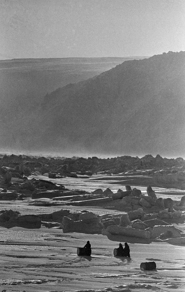
Through 2015, Arctic summer sea ice has declined 13.4 percent per decade relative to the 1981 to 2010 average, according to the National Snow and Ice Data Center at the University of Colorado.

Cargo companies have not created polar shipping service between continents, but on the U.S. side of the Bering Sea, the Coast Guard is monitoring research missions, tour boats and shippers delivering goods to Alaska’s Arctic Ocean whaling communities.

In 2014, the Coast Guard counted 340 transits through the Bering Strait made by about 120 large vessels. That volume is not enough to generate a shipping lane study, Stitz said. However, the region is both ecologically sensitive and remote, he said.

“We don’t have good response capabilities. We don’t have a good salvage response up there. We have inadequate pollution-fighting equipment up there,” Stitz said. “If something were to go wrong, it really could compound itself.”

The agency doesn’t want a repeat of the Selendang Ayu, a 738-foot freighter that lost power, ran aground and broke in two on Dec. 8, 2004, on the north side of Unalaska Island in the Aleutians. It spilled 66,000 tons of soybeans and an estimated 350,000 gallons of oil.

Six of the 10 crew members died when a rogue wave crashed into a Coast Guard helicopter lifting them from the vessel. The helicopter crew was rescued. “We don’t want to see that happen in the Bering Sea, or further north,” Stitz said.

One of the vessels planning to transit the Bering Strait next year is the 820-foot luxury cruise ship, the Crystal Serenity, which will travel from Seward, Alaska, to New York by way of the Northwest Passage, a route that winds through waters in far northern Canada.

The Crystal Serenity acknowledged the remoteness of its destination: passengers must carry a minimum of $50,000 in emergency medical evacuation insurance coverage. The cruise ship expects to move in ice-free water but will carry two marine pilots who can navigate through ice.

Crystal Cruises spokesman Paul Garcia said an escort vessel with ice-breaking capability and a helicopter that can scout for ice will accompany the ship on the trip that sold out within a month after online reservations went on sale last year.

“Safety is paramount with Crystal,” Garcia said. “We’re going to all extremes to make sure that our guests know we take it very seriously.”

The proposed shipping lane starts at Unimak Pass in the Aleutian Islands, which sees upward of 5,000 transits annually, mostly cargo vessels operating between Asia and the U.S. West Coast.

The proposed Bering Sea route covers 730 miles, taking a path farther west of Nunivak Island and farther east of St. Lawrence Island than most ships use now. The route can guarantee that boats will be in at least 60 feet of water, Stitz said.

Environmental groups strongly encourage creation of the shipping lanes but want large vessels to safely pass environmentally sensitive natural features. For example, the Diomede Islands provide nesting colonies for nearly 7 million crested, least and parakeet auklets and other species, the largest bird concentration in Alaska, according to the groups.

The groups want a speed limit through the Bering Strait, a passageway for hundreds of thousands of animals that migrate from the North Pacific to the Arctic Ocean, including bowhead and gray whales.

The National Oceanic and Atmospheric Administration wants the proposed lane shifted west in the southern Bering Sea to protect endangered right whales.

Others call for more study to determine if the lane overlaps with migratory routes of bowhead whales.

The Coast Guard hopes to complete its route study by next summer.

More in News

Students of Sterling Elementary School carry a sign in support of their school during a special meeting of the Kenai Peninsula Borough School District Board of Education in Soldotna, Alaska, on Wednesday, April 23, 2025. (Jake Dye/Peninsula Clarion)
District adopts budget with severe cuts, school closures

The preliminary budget assumes a $680 increase in per-student funding from the state.

A vote board shows a veto override attempt Tuesday by the Alaska Legislature on a $1,000 increase to per-student education funding falling short of the necessary two-thirds majority with a 33-27 vote. (Mark Sabbatini / Juneau Empire file photo)
Senate adds $700 BSA hike to school phone policy bill a day after veto override on $1,000 increase fails

Lawmakers say quick floor vote by Senate, concurrence by House may set up another override session.

The Soldotna Public Library is seen on a snowy Tuesday, Dec. 27, 2022, in Soldotna, Alaska. (Jake Dye/Peninsula Clarion)
Soldotna library advisory board hears update on federal funding cuts

The federal government’s dismantling of the Institute of Museum and Library Services could cause the reduction or elimination of some statewide library services as soon as July 1.

Protestors stand with an American flag and a sign that reads “DEFUND HATE” on Saturday, April 19 at WKFL Park during the “Sustained Resistence, Makes a Difference” Rally. (Chloe Pleznac/Homer News)
More than 600 gather in Homer for ‘Sustained Resistance, Makes a Difference’ rally

It was at least the third time this year the Homer community gathered to protest the Trump administration.

Sen. Jesse Bjorkman, R-Nikiski, speaks in support overriding Gov. Mike Dunleavy’s veto of House Bill 69 at the Alaska Capitol in Juneau, Alaska, on Tuesday, April 22, 2025. (Mark Sabbatini/Juneau Empire)
Legislature upholds governor’s veto of increased school funding

The governor last week said he vetoed House Bill 69 because it didn’t include any policy changes and because of the state’s “deteriorated” revenue outlook.

Kenai Central High School’s Kyle Foster speaks during the 35th Annual Caring for the Kenai Oral Presentations at Kenai Central High School in Kenai, Alaska, on Thursday, April 17, 2025. (Jake Dye/Peninsula Clarion)
Seward freshman wins 35th Caring for the Kenai with thermal asphalt proposal

Twelve finalists were chosen in this year’s competition.

Gov. Mike Dunleavy (R-Alaska) speaks to reporters about his decision to veto an education funding bill at the Alaska State Capitol on Thursday, April 17, 2025. (Jasz Garrett / Juneau Empire)
Dunleavy’s veto of education funding bill puts pressure on lawmakers during final month of session

Governor also previews new bill with $560 BSA increase, plus additional funds for policy initiatives.

Brent Johnson speaks during a meeting of the Kenai Peninsula Borough Assembly in Soldotna, Alaska, on Tuesday, April 1, 2025. (Jake Dye/Peninsula Clarion)
Assembly kills resolution asking for option to cap property assessment increases

Alaska municipalities are required by state statute to assess all properties at their full and true value.

City of Kenai Public Works Director Scott Curtain; City of Kenai Mayor Brian Gabriel; Kenai Peninsula Borough Mayor Peter Micciche; Sen. Lisa Murkowski; Col. Jeffrey Palazzini; Elaina Spraker; Adam Trombley; and Kenai City Manager Terry Eubank cut the ribbon to celebrate the start of work on the Kenai River Bluff Stabilization Project in Kenai, Alaska, on Monday, June 10, 2024. (Jake Dye/Peninsula Clarion)
Kenai bluff stabilization info meeting rescheduled for April 30

Originally, the event was scheduled for the same time as the Caring for the Kenai final presentations.

Most Read