
From tracking infectious diseases worldwide, to regional elephant migration patterns, students are learning about the many layers of Geographic Information Systems, or GIS, for the first time in local classrooms.
Soldotna Prep geography teacher Nathan Erfurth opened his doors on Sept. 24 and Sept. 25, to four professionals from the Kenai Peninsula GIS User Group for a crash course in the virtually limitless applications of spatial analysis.
“(My students) desperately need this knowledge because they can’t have informed conversations about current events and about decisions that we make globally or locally without knowing where they are happening,” Erfurth said. “That’s why my class is focused and centered on current events and well, as you know, maps. ”
Erfurth, who has a particular affection for teaching international relationships, referred to the content of the course as the instruction of the “sheer amount of data and power,” that is accessible to anyone who knows how to use it.
Understanding how to use that available data through online mapping materials is becoming easier and easier, said Kenai Peninsula Borough GIS Specialist Bobbi Lay, who co-organized and co-taught the lessons.
“Anyone with a web browser can crunch data,” Lay said.
Layers and layers, or the representations of spatial or geographical datasets, are housed online.
To combine and analyze those layers is “to drill down through the sandwich to see how all those relate,” Lay said. Many modern job positions requires some knowledge of GIS, she said.
The user group utilized pre-designed courses produced by the GIS company Esri, which has weeks’ worth of work for kindergarten through twelfth-grade classrooms.
Lay was first introduced to the services during a national conference in 2015. No software or special equipment is required to use it, just access to the Internet, she said.
The City of Soldotna’s Economic Development Director Stephanie Queen, Planning Technician Austin Johnson and Kenai Watershed Forum GIS Specialist Branden Bornemann developed the lesson plan along with Lay.
The first-time teachers taught a lesson called Running Hot and Cold to four of Erfurth’s classes for two days, filling the first with an answer to the question “what is GIS?”, the history of maps from way finding to ship navigation, to global satellite imagery and the second with analysis on global climates, its populations and how the two relate.
Student Trinity Palm said she now understands GIS to be the study of communities and their environments.
It was the first time Kyla Smith and her classmate Kayln McGillibroy had ever evaluated online map layers. McGillibroy said the most relevant and immediate application she identified with the new data is improving travel plans.
Now, she said, she can seek out vacation locations with ideal populations and temperatures.
In the future, McGillibroy said she would like to learn more about the various programs, and software used with GIS.
Smith said she picked up the concepts quickly because the lessons were well taught.
“Instead of spreading out maps, you can just press buttons and it will show you what you want,” Smith said.
Choosing where to open a new business, disaster preparedness or even for Erfurth’s students, their upcoming Caring for the Kenai projects can benefit from using elements of GIS, he said. Instead of selecting a general area to develop a trail locally, for example, a student could outline in the exact location, length and potential environmental impacts where a path could be installed, he said.
Lay said students in school now are already primed for much of the content that could be taught about GIS.
“They are the first generation that has a GPS in their pockets,” Lay said.
Reach Kelly Sullivan at kelly.sullivan@peninsulaclarion.com
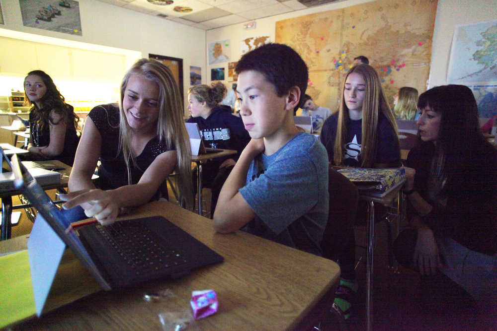
Photo by Kelly Sullivan/ Peninsula Clarion Kenai Watershed Forum GIS Specialist Branden Bornemann assists Nathan Erfruth’s geography student India Bates during the two-day course in Geographical Information System taught by members of the Kenai Peninsula GIS User Group Friday, Sept. 25, 2015, at Soldotna Prep in Soldotna, Alaska.
