
In addition to Alaska LNG project managers, and planners from Trans-Foreland Pipeline Company, Nikiski landowners will soon have another group of surveyors knocking on their doors as contractors from DOWL HKM begin testing area wells.
The study, which will cover an area between the McGahan Industrial Park, the AIMM Monofill site, the Cook Inlet and the eastern property line of Nikiski High School, was contracted by the borough in response to community concerns about contaminated sites in Nikiski. The hydrogeological study will not include water quality testing. Rather DOWL HKM surveyors will be documenting groundwater movement and generate a model for the Kenai Peninsula Borough.
“They have been tasked with building a model, so that we can figure out — if a contaminant was introduced at “x” location, what it would mean to the aquifers in the area — where the contaminant would go, how fast it would be able to get to another place,” said Kenai Peninsula Borough Capital Projects Director Kevin Lyon.
Currently, employees from DOWL HKM are gathering publicly available water movement data from area monitoring wells, well logs from drillers, and existing reports. Among those to be studied are six groundwater-monitoring wells installed by AIMM Technologies as part of its permitting process with the Alaska Department of Environmental Conservation.
Study organizers are also looking for help from area residents.
“Large portions of the study area lack any data,” said borough project manager Dan Mahalak.
Borough and DOWL HKM employees will be at the Nov. 3 Nikiski Community Council Meeting to give a brief presentation on the project, Mahalak said.
To test the well, surveyors will not need to touch a resident’s water, Lyon said.
“We can sound it from the top, just like a sonar, and then we can read the water levels there,” he said. “If we can get ahold of their well log, so we know the pump setting, what the pipe was and where the water was, that will work.”
The borough’s $119,970 contract with DOWL HKM will eat up most of the $150,000 state money the borough received in 2013 for the project. The funds were part of a capital budget reappropriation written by State Rep. Mike Chenault, R-Nikiski.
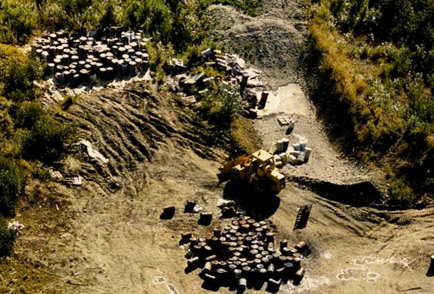
When the money was requested, Kenai Peninsula Borough Mayor Mike Navarre said he had heard from a number of Nikiski residents after the history of a site near the AIMM Monofill known as the Arness Septage Site was revealed. The site was the subject of a six-part Peninsula Clarion investigation that revealed at least 4,200 gallons of oil-contaminated waste, sludge and other pollutants were dumped on the land in the early 1980s.
Study organizers said having more wells to test would better the final model.
“We just really want people to come out and help us get the data so we can put it together,” Lyon said. “If we don’t have data points, we really aren’t going to have a good data set.”
Once surveyors are done with the field research portion of the project, DOWL HKM will generate subsurface maps to conceptualize groundwater flow, depth and direction, according to a project media release. A report summarizing the findings and recommendations is scheduled to be released in March, according to the release.
Surveyors are planning to finish their field research in November, so any residents willing to volunteer their wells for testing should contact DOWL HKM’s Emily Creely at 907-562-2000 or at ecreely@dowlhkm.com.
Clarion file material was used in this article.
Rashah McChesney can be reached at rashah.mcchesney@peninsulaclarion.com
