
The Alaska Department of Transportation’s proposed improvements to the Sterling Highway take into account the movement of both humans and animals.
“From a strategic perspective, looking at the landscape… the (Sterling) highway bisects the (Kenai Wildlife) Refuge,” said Kenai Wildlife Refuge Manager Andy Loranger. “It almost literally divides the Peninsula in half, from north to south. To some degree, all roads are barriers to wildlife movement.”
With this fact in mind, the Alaska Department of Transportation collaborated with the Kenai Wildlife Refuge in designing changes between miles 58 and 79 of the road. In addition to adding passing lanes, four paved turn-outs, and altering the pitch of some curves, the DOT will add six underpasses intended for animal movement.
“We worked really closely with the US Fish and Wildlife service,” said Cynthia Ferguson, DOT’s manager for the Sterling Highway improvements. “(Refuge biologist) John Morton and Andy Loranger at the Refuge… told us the locations where we should put (the wildlife passages); what size they should be. They were very instrumental in that.”
Morton, who described the improvements as “unprecedented wildlife mitigation,” said that many of those decisions were based on a 2005 DOT-funded Kenai Refuge study that tracked moose and caribou movements with GPS collars over two years.
“We know with our GPS collar information that we have a lot of moose that winter in the Skilak area,” Morton said. “Then in the spring, they make a beeline to the Kenai lowlands, where they drop calves, and then eventually work their way back. So there’s a lot of movement back and forth across the highway.”
The largest animal passage will be placed at Mile 71, where the east fork of the Moose River currently flows beneath the Sterling Highway through a culvert. This will become a bridge, intended to allow passage of not only the river, which Morton called a “natural diagonal corridor” for animal migration, but also moose and caribou.
On either side of the river, the bridge will include a 35-foot-wide area of ground, with a clearance of 18 feet below the bridge undersurface. Morton said this area was created with moose specifically in mind.
The width of the passage is intended to avoid giving claustrophobic moose the impression of a tunnel, and the passage was placed beneath a two-lane rather than a three or four lane section of the highway in order to avoid making it frighteningly long.
“For a lot of your big ungulates, your caribou and moose, they don’t really like to go under things,” Morton said. “That’s why we kept pushing the design height for the east fork of the Moose as high up as we could get… We kept pushing the width as far as we could get it, too, because we were trying to create as much open space.”
Morton said that a vegetated overpass was also considered for moose, but was discarded because of the expense.
In addition to the Moose River underpass, the improvements include five smaller culvert-like underpasses that Morton said “are primarily focused on smaller animals: bears, bobcats, coyotes, wolves.” There will also be a fence along two miles of a four-lane section of the road to discourage animal crossings.
The road project contains human-centered elements as well: one of the four paved turnouts will be a parking lot for the trailhead of the Refuge’s Skyline trail, and in many places the road will be expanded to three or four lanes. Transportation Engineer Zaid Hussein, of engineering consultant DOWL, which designed the improvements, said that the passing lanes are intended to ease summer traffic that makes the road less usable than it should be.
Hussein said that many engineers use a letter scale to grade a road’s level of service, with A indicating the most usable road, and F the least. Although Hussein said the level of service on the Sterling Highway varies drastically through the year, in the summer it is poor.
“For the peak season, and even in the month of May, level of service (on the Sterling Highway) is a D,” Hussein said, adding that national road-design standards call for a B.
“There is indication that passing lanes are needed,” Hussein said. “What a passing lane does is improve two things: average travel speed — that’s the speed you can go at without having to slow down — and it reduces your time following a vehicle before you. And the more you follow a vehicle, the more frustration you’re going to get… So it’s to reduce congestion, improve operation, and reduce collisions.”
Hussein estimated the project will add approximately five and a half miles of new lane to the Sterling Highway.
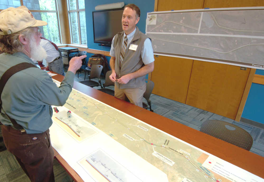
Because the improved section runs mainly through the Refuge, Ferguson said construction on this section will create relatively little impediment to private property access. However, at least two property owners expect to be affected by the construction. Eric Benson, owner of Sterling chainsaw sculpture business The Dreamer’s Woods, and Terry Jackson, owner of a seasonal grocery store, say access to their businesses could be blocked by summer construction.
Benson and Jackson spoke about their concerns to DOWL engineers and DOT representatives at a May 19 open house at the Kenai Wildlife Refuge Visitor Center.
“It’s my livelihood. We only make money in May, June, July, and August,” Benson said. “And that’s when they’re doing it.”
Benson said he supported the improvements, “as long as they’re not blocking us off.” He said he previously sent an email to DOT, and that he had come to the open house to be sure that DOT was aware that affected business owners did exist in the project site.
“We’re really the only businesses on that stretch,” Benson said of himself and Jackson. “Other than the knife guy, I don’t know what his name is. Other than that, there’s nobody in business there. We just wanted to let them know that there are businesses there.”
Benson said DOT and DOWL representatives were open to his concerns, and that access to his business would largely depend on how the construction of the project was carried out.
“I liked what they have to say,” Benson said of the DOT representatives. “Of course, they’re not the actual construction company that will be there. I’ll probably speak with those guys.”
The construction company carrying out the improvements has yet to be selected. Ferguson said the improvement plan will go to bid in February 2016, and could begin building in spring of that year. She estimated construction could be finished in fall 2017.
Reach Ben Boettger at ben.boettger@peninsulaclarion.com
