

With improvements on the north side of the Kasilof River nearly finished, the Alaska Department of Natural Resources is turning its attention to other infrastructure in the area.
Since October 2015, the state has been working on developing a parking lot, dune fencing and other road improvements at the end of Kasilof Beach Road on the north side of the river’s mouth. With the paving finished, the DNR plans to have it open for parking within the next few days, in time for the rush on the Kasilof for the opening of the personal-use dipnet fishery for sockeye salmon set to begin there June 25.
With the north side project nearly finished, the state’s planners are starting to design concepts for improvements on the south side, said Christy Colles, a natural resource manager with the Division of Mining, Land and Water working on the Kasilof projects.
“These are just ideas we’ve come up with,” she said at a public meeting at the Soldotna Public Library on Wednesday. “…What we were talking about is we’d like to see if we can accommodate some bigger vehicles or some RVs (for) maybe a different experience.”
The Division of Mining, Land and Water has drafted five basic concepts for parking and other facilities on the south side of the river and is asking for public comments before formally drafting a site plan. The current plan is to build on land near the end of Cohoe Beach Road, which is a short distance south of the actual mouth along the beach. The concepts range from a loop with pull-in parking spaces and a parking area on the north side of the road to just one small parking area. The designers are working around both geographic features and an active eagle nest on the land to the south of the road, Colles said.
The plans aren’t moving forward quickly, though. The tentative plan is to have a plan finalized by the fall, but construction likely won’t begin until a year later, until fall 2018, she said.
The Kasilof River projects have been caught up in a controversy for the last few years, as the DNR takes steps to use Legislature-granted funds to build infrastructure in the area. When DNR issued the initial plans for the north side projects in October 2015, there were no plans to have public meetings, and in reaction to public comments, the agency revised the initial design and came back to the public for comments on site concepts before moving forward.
A similar situation unfolded with plans for a boat takeout facility upstream from the mouth on state-owned land. The state owns two parcels of land at approximately river mile 3.75 and plans to develop a drift boat takeout facility there. When the Division of Parks and Outdoor Recreation hosted a public meeting in December 2016 to allow people to comment on the plans, Kasilof residents objected to the plans, saying the design — which included a traditional boat ramp — would allow for launching rather than just boat retrieval. One of the chief concerns was the rapid growth of the personal-use dipnet fishery at the mouth and the potential for people to use the new facility as a place to launch boats to use there.
In response, DNR Commissioner Andy Mack decided to put the project on hold in January, as reported by the Clarion. At the meeting Wednesday, he said he wanted to take a system-wide view at the Kasilof and the potential impacts and uses of the different facilities DNR has there.
“What we’re going to do is put that back on the table and try to figure out what will work,” he said. “I think one of the hallmarks of this current administration is the opinion that all communities matter, particularly small communities, particularly places where there’s people that live who are being impacted. So I take very seriously the number of comments I got.”
One of the largest blanks in the question of the Kasilof River’s future management is the lack of enforcement authority, which residents have been asking about all along. Use of the river has grown dramatically in the past two decades, especially in the personal-use dipnet fishery, but without a city government or formal structure like a public use area or a state park, there aren’t any fees or patrol enforcement officers to watch the activity in the area. Mack brought up the options of forming a Kasilof River Public Use Area, which would provide an annual budget to support the area, or forming a park, like the Kenai River Special Management Area.
However, forming either a public use area or a park would take legislative action, which takes time and public support, Mack said.
“I don’t have a preconceived notion on what those answers are to those questions,” he said. “I will say that everybody cares very much about this area … it’s something that’s going to generate a lot of interest.”
For now, the main project the state is focusing on is the south side improvement projects. Of the original $2.8 million appropriated for Kasilof River projects, about $1.5 million went to the north side improvements, leaving about $1.3 million for the south side.
Right now, the Division of Parks and Outdoor Recreation is working on finishing some cleanup work of contaminated soil at the Kasilof Landing site. It will remain closed to the general public until DNR finalizes plans and constructs a facility there, but guides can currently obtain a permit to drop off clients at the site before floating down to the only boat retrieval facility currently operating on the river, which is at the Kasilof River Lodge and Cabins about a mile upstream of the mouth.
The comment period on the concepts for the south side improvements will be open until Aug. 31.
Reach Elizabeth Earl at elizabeth.earl@peninsulaclarion.com.
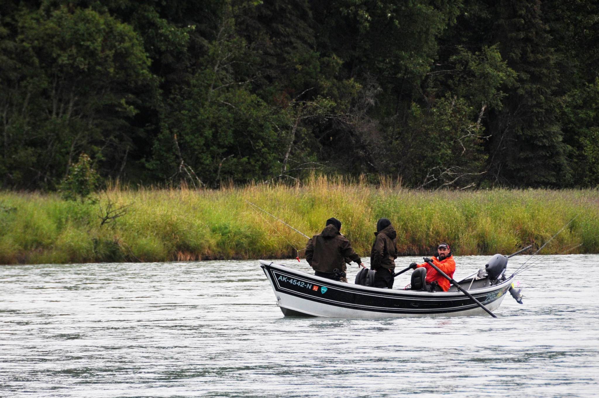
In this June 2016 photo, a guide rows clients on the Kasilof River near the confluence with Crooked Creek in Kasilof. (Photo by Elizabeth Earl/Peninsula Clarion, file)
