
Imagine you are at the controls of a Piper Super Cub flying at tree-top level 150 feet above the ground. As you fly 10-mile long transects running north and south, and spaced ¼ mile apart, your head constantly swivels as you try to spot moose in the trees. Once sighted, you circle, mark a waypoint on your GPS, and record age, sex, group size, and number of calves.
Now imagine that instead of piloting a Super Cub you are sitting in your office peering at a computer monitor while drinking coffee and snacking on doughnuts. To me, this is a difficult concept to grasp but it may become reality sooner than I’d like to admit.
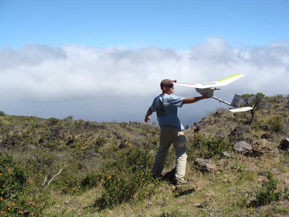
I am, of course, talking about Unmanned Aircraft Systems (UAS) or drones. The recent explosion in UAS development for non-military applications is rather daunting. Commercial demand has far surpassed the abilities of the Federal Aviation Administration (FAA) to develop regulations pertaining to their use. Corporate America is buzzing with grandiose ideas of how to use UAS. Companies like Amazon and FedEx plan to have UAS deliver packages right to your doorstep — how convenient.
When most people think of UAS, the image of a drone that looks like a winged beluga whale dropping bombs on a nameless country comes to mind. But in the world of natural resource management, UAS are gaining a lot of interest and look to be promising. We currently rely heavily on manned aircraft, both fixed wing and helicopters, to execute a variety of aerial wildlife surveys, typically at low speeds and altitudes in a variety of challenging weather and terrain conditions. The adaptation of UAS technology to the world of aerial wildlife surveys and other resource applications could reduce the risk of human injury, casualty, and monetary costs.
The Department of the Interior has been testing the feasibility of using small UAS to survey wildlife since 2011. The first successful mission was to count roosting sandhill cranes at the Monte Vista National Wildlife Refuge in Colorado. The crew used an RQ-11(A) Raven UAS equipped to gather infrared thermal imagery of a roosting crane colony. The UAS proved beneficial as the Raven’s small size and ability to fly low level at night using infrared thermal detection technology to detect individual bird heat signatures allowed for a successful roost survey. Typically, these surveys are conducted by fixed-wing aircraft with a high risk of mid-air collisions with birds.
Last year, ConocoPhillips successfully completed the first approved commercial use of an UAS in U.S.-controlled airspace with mixed results. They tested the feasibility of using UAS to monitor marine mammal population dynamics and ice conditions near proposed drilling sites in the Chukchi Sea. Typically these missions are executed by aircraft flying up to 200 miles offshore. This type of commercial testing is projected to ramp up this coming year as the FAA test sites come online.
There are exciting potential applications for UAS on the Kenai National Wildlife Refuge. As camera and image processing technology increases so does the potential for developing new methods for resource monitoring. Infrared thermal imaging technology may allow us to effectively count moose and bears in areas we currently cannot either because of dense forest canopy or because we can’t do low-level flights over urban areas.
We could survey sheep, goats and caribou in the Kenai Mountains safer and more cost effectively. We could reduce disturbance and increase precision for waterfowl surveys. The costs of monitoring fire activity could be substantially reduced while providing a greater safety and increase our abilities to monitor post-burn vegetation changes. Consider raptor nest surveys, wildlife habitat analysis, wildlife roadside interactions, lake shore mapping, and the spatial distribution of shrub defoliation by insects.
As of now the rules governing the commercial and government use of UAS are highly restrictive. The FAA requires a Certification of Authorization be issued for any project using UAS. This permitting process can take from 2 to 8 months for approval. Once approved, operators must have continuous visual contact with the UAS, are restricted to altitudes below 400 feet, must operate in uncontrolled airspace (class G), and must cease operations if another aircraft is spotted in the area. These restrictions make UAS resource operations at the scales needed on the Kenai Refuge and most other federal lands in Alaska impractical. However, Congress has mandated the FAA achieve full UAS integration into the current national airspace system by 2015 and, with the huge interest and money being dumped into UAS development, that goal may well be met.
I don’t need a palm reader to tell me that a large part of my flying duties may soon be replaced by UAS. Yet with any change there is a flip side. In this case, the downside is that we continue to distance ourselves from the natural resources we manage. Biologists learn a lot by experiencing the same environment as the animals and habitats we manage. We are constantly processing information related to wildlife resources whether it be habitat condition, water levels, phenology, animal condition, non-target species occurrence (or absence) and behavior. UAS technology cannot replace this experiential knowledge and data gathering.
The UAS can and likely will be very good at collecting specific information to be used for specific purposes but, hopefully, it will not replace first-hand observations of the world we love.
Nathan Olson is the wildlife biologist-pilot at Kenai National Wildlife Refuge. You can find more about the Refuge at http://kenai.fws.gov or http://www.facebook.com/kenainationalwildliferefuge.
