Up a ramp, finally off the big river
Published 1:30 pm Friday, April 17, 2026
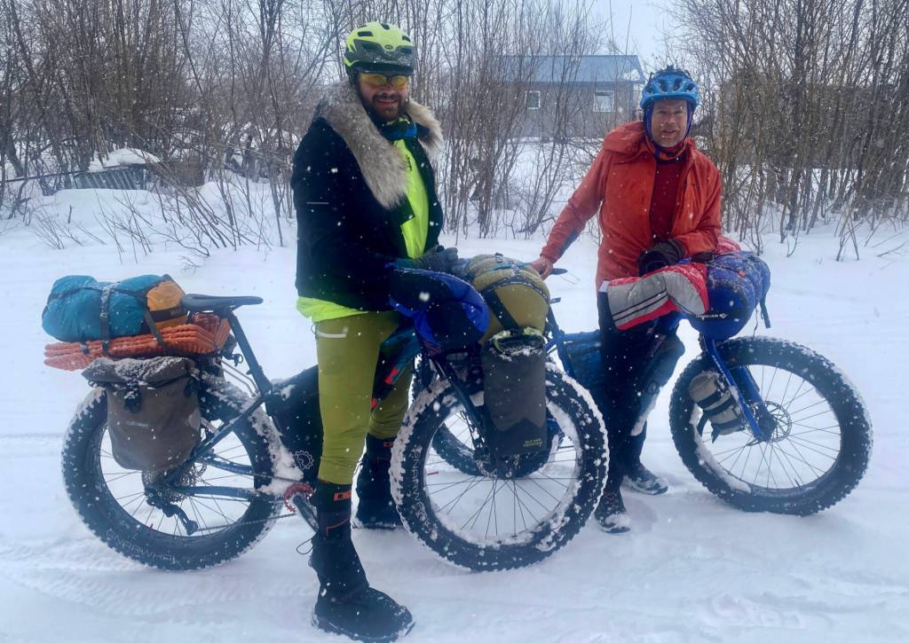


KALTAG — A few hours ago, Forest Wagner and I shoved our loaded bikes up a ramp of snow and onto Front Street.
After nine days and 265 miles, we are off Alaska’s largest frozen river.
Yay!
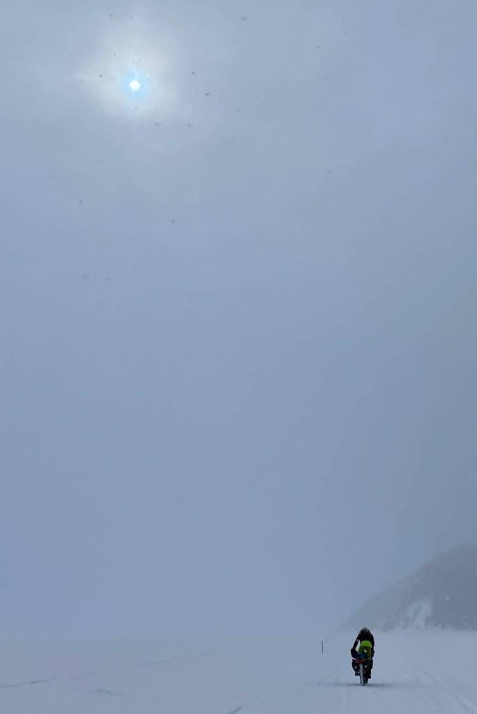
Not that we don’t love that giant tan snake. But our final day of fat biking on the river was snowy and wet and the light so flat it was like living inside a ping-pong ball. The wind piled the snow in sandy drifts that caught our knobby tires and pitched us sideways. It was a bit exhausting.
My friend and neighbor Chris Carlson of Fairbanks happened to be in Kaltag on a teaching assignment. He was following our plod from the school via satellite tracker.
From the white plain of the big river, a half-mile from either spruce shore and hours from Kaltag, I satellite-texted Chris. Please, two village-store pizzas and some Cokes. He secured them. A couple hours later, Forest and I murdered them.
Sweet calories. We have been operating at a deficit since starting this home-to-Nome ride from Fairbanks on March 21. It’s tough to stay ahead of the curve with dehydrated meals, snack bars and meat sticks. But who doesn’t like to eat like a goat?
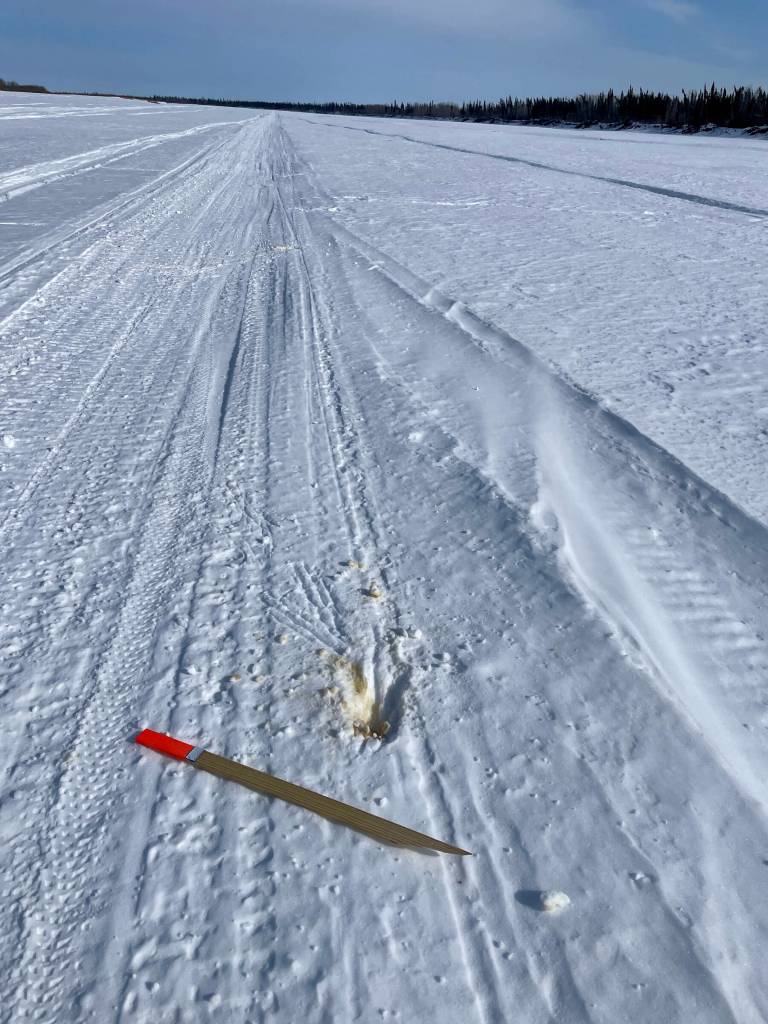
We have rolled off the quiet, vast, kinda lonely Yukon River. Next up is the portage trail from the Yukon to the Bering Sea coast and the village of Unalakleet. That is two days of travel along a vegetated seismic fault between mountains that has been a passage for people for as long as humans have been scampering over this oversized peninsula.
So far, even now in early-to-mid April, trails have been holding firm. But the r-word has appeared in the forecast, and we no longer really need the super subzero sleeping bags.
We will continue pedaling on to the coast from Alaska’s great Interior and hope things remain solid and dry enough for us to reach Nome after one of the coldest winters in everyone’s recent memory.
Thanks to all our Yukon River friends, including Karin, Tim and Ida Bodony of Galena who put us up; without showing astonishment, Tim kept producing pancakes as they disappeared from the plate. Another thanks to Charlie Campbell of Tanana, for loaning us his canister stove (who’da thunk we wouldn’t be able to find any Blazo — white gas — in Bush villages any more?).
When my satellite tracker is on, you can see our arrow creeping across the landscape here: share.garmin.com/NedRozell.
Ned Rozell is a science writer with the Geophysical Institute at the University of Alaska Fairbanks. Since the late 1970s, the institute has provided this column free in cooperation with the UAF research community.