Alaska Volcano Observatory marks 30th anniversary
Published 3:00 am Friday, April 27, 2018


If you know that a volcano is at risk of erupting, you can thank the Alaska Volcano Observatory and its collection of sensors around coastal Alaska.
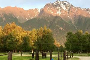
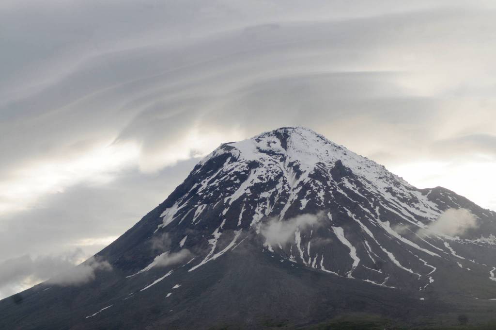
Perched on the edge of the eruption-prone Pacific tectonic plate, sometimes called the Ring of Fire, the majority of Alaska’s population lives within a few hundred miles of an active volcano. Though an eruption hasn’t disrupted life on the Kenai Peninsula since 2009, when ash from Mt. Redoubt blew across Cook Inlet, there’s always a team monitoring the volcanoes scattered across Alaska from Little Sitkin Island near the tip of the Aleutian Chain to the Wrangell Mountains east of Anchorage.
This year, the Alaska Volcano Observatory marks its 30th anniversary. At any given time, the observatory — a collaborative effort between the University of Alaska Fairbanks, the U.S. Geological Survey and the Alaska Division of Geological and Geophysical Surveys — is actively monitoring between 29 and 32 volcanoes, said scientist-in-charge Michelle Coombs. That number fluctuates based on the equipment up and running throughout the seasons.
“We have monitoring networks throughout the Aleutian chain,” she said. “They kind of go throughout the Aleutians to Little Sitkin in the west, and we have pretty robust monitoring system on (the Cook Inlet) volcanoes, and we have one on St. Elias National Park.”
That’s roughly a third of the volcanoes that geologists consider active in Alaska — about 90 have erupted in the last 10,000 years, recently enough to be considered active, Coombs said. The observatory prioritizes which volcanoes to actively monitor based on how close they are to people or travel routes.
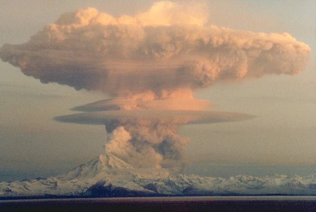
The observatory had only existed for about a year when Mt. Redoubt erupted in 1989. The scientists had mounted sensors on Redoubt at that point and so were able to monitor it, Coombs said. That eruption is often noted because of the near-tragedy of a jet plane flying from Tokyo to Amsterdam via Anchorage, which went briefly into freefall as it flew too close to the ash cloud from the erupting volcano and its engines shut down. Crew members said they could not see the ash cloud and it did not show up on radar.
Since then, planes have been careful to take volcanic eruptions into account. Coombs said the observatory’s monitor network along the Aleutian chain volcanoes may not necessarily be applicable for nearby residents, but they’re important for air traffic.
“As many as 50,000 people a day are flying those routes, so if you have a remote volcano, it may pose a risk to those flights,” she said.
The observatory started out with monitoring stations on Mt. Redoubt, Mt. Spurr, Mt. Augustine and Katmai, but has grown its network over time. Funding comes primarily through the U.S. Geological Survey, with cooperative agreements from UAF and the DGGS.
Getting the data poses a challenge to begin with. The sensors the volcanologists use to study volcanoes and predict eruptions are very similar to the sensors used to detect earthquakes, but they have to be very close to the volcano to detect the subtle seismic activity before an eruption. So the scientists installing or maintaining equipment will fly a helicopter to the volcanoes and look for an area to mount the equipment and a fiberglass hut to house it.
Some sites are easier than others. Mt. Augustine, which is an island in Kamishak Bay composed of little other than the volcano, is a relatively easy to site for the researchers, Coombs said. It still has its difficulties — blowing pumice at the summit has damaged their solar panels, and rime ice has coated the monitoring hut — but volcanoes like Mt. Iliamna and Mt. Spurr are more logistically challenging.
“The key is to find an outcropping of rock where you can land a helicopter. All of our electronics are housed in fiberglass huts… and you have to put that hut in and find a place to bury the sensor,” she said. “Because of the gear, we are required to have helicopters to get to our sites. People are definitely required to have survival skills.”
The Alaska Volcano Observatory’s 30th anniversary coincides with Katmai National Park’s centennial. The park was established in 1918 in part to protect an area on the Alaska Peninsula devastated by the eruption of Novarupta, the largest known volcanic eruption in the 20th century. Stretched over three days, ash rained down in Kodiak for 60 hours, burying the town in a foot of ash, according to the National Park Service. The ash cloud stretched all the way to Puget Sound in Washington State three days after the eruption began and lowered the average temperatures by about 2 degrees Fahrenheit in the Northern Hemisphere for more than a year.
Since then, researchers have dug into the valley formed by the eruption to study both the Novarupta event specifically and volcanology at large, continuing today. The University of Alaska Fairbanks’ International Volcanology Field School takes students to Katmai as part of a field class each year.
The researchers at the Alaska Volcano Observatory do similar work with other volcanic sites around the state, Coombs said.
“A lot of the research that we do is trying to understand the eruptive histories of the volcanoes,” she said. “We do basic geological mapping of our volcanoes, again with the goal of understanding what has this volcano done in the past, and what will it do in the future. On the Kenai, you could go dig a hole or look at a road cut and see layers of Redoubt, Augustine … there’s also a volcano north of Spurr, called Hayes, that you could see the ash in the (buried ash layers).”
The emergence of new technology has helped with monitoring as well. The Alaska Volcano Observatory keeps a continuous gas sensor at the summit of Mt. Augustine, the only one in Alaska, and hopes to expand that technology in the future, Coombs said. Satellite imaging has also helped significantly with detecting chemical dispersions, she said.
“The other thing we’re starting to explore is using (unmanned aerial vehicles),” she said. “Things are always changing.”
Reach Elizabeth Earl at eearl@cmg-northwest2.go-vip.net/peninsulaclarion.