
For the past year I’ve been sitting in a university office in Eastern Pennsylvania staring at maps of the Kenai Peninsula. The maps show the peninsula striped by eight slender (1,000-feet wide) red ribbons, extending north-south.
These stripes show where NASA flew an airplane campaign with instruments aboard that gathered information about the surface below. These instruments, LiDAR and a spectrometer, produced images of the landscape and its vegetation — images in which each pixel is not just a color but a small treasure trove of cached data.
It came as a pretty big surprise to me that NASA flies aircraft other than rockets, or that they’re interested in understanding not just outer space but the inner space envelope that is our earth’s atmosphere. But NASA’s Goddard Space Flight Center does exactly that. It was staff from the Goddard Center who flew the flight lines in August 2014.
The LiDAR instruments onboard the airplane collect information about the height of what’s on the ground by sending down a laser pulse, and measuring the time it takes for the pulse to reach the first object in its path and bounce back. That return pulse is the “the first return.” The pulse fragments when it hits that first object and a portion of the pulse continues downward hitting lower objects. The final object the pulse hits is usually the ground and is called “the last return.”
We can calculate the distance that pulse traveled by knowing its speed (the speed of light) and the time it took to travel down and back. Now multiply that by millions of pulses and we can see how LiDAR creates a 3D image of the height of everything it flies over. LiDAR lets us map the height of vegetation from high canopied forests to low-lying wetlands.
The second instrument, a spectrometer, takes an image of the reflectance that an object gives off. To think about this spectral-reflectance concept it’s helpful to recall that everything on earth absorbs and reflects light.
Our dark clothing absorbs light while our white clothes reflect more light. If we extend this idea to colors, and think about how plants appear green because they actually reflect wavelengths in the green region of the spectrum, we can start to envision how everything on earth has its own “spectral profile.”
Why is this NASA data special? First, the images are “high resolution,” meaning each pixel in the image represents a 1-meter-square patch on the ground.
Secondly, the LiDAR and hyperspectral data were collected simultaneously so we know with a high degree of confidence that it tells us both the height of the materials and gives us a highly detailed spectral profile of what’s in any meter-square pixel.
Put these together, and we have a powerful tool for potentially understanding, over a vast spatial area, exactly what vegetation is on the Kenai landscape.
By now you might be asking yourself, who cares? Plants are plants, right? We’re glad to have them, the caribou are glad to have them, the moose are glad to have them. But why do we care which plants are where?
This is where the complexity of plants comes into play. Plants don’t just sit on the earth’s surface, but exist in a highly complex web of processes at the earth-atmosphere interface.
When the type of plants dominating a space changes, transitions for instance from a forest to a grassland, then the amount of water in the soil, the pH, the temperature, and the microorganisms in the soil also shift.
All this shifting can impact everything on the land from its relative risk of fire, to how much carbon is stored in the soil, to how well the environment suits the animals that live there.
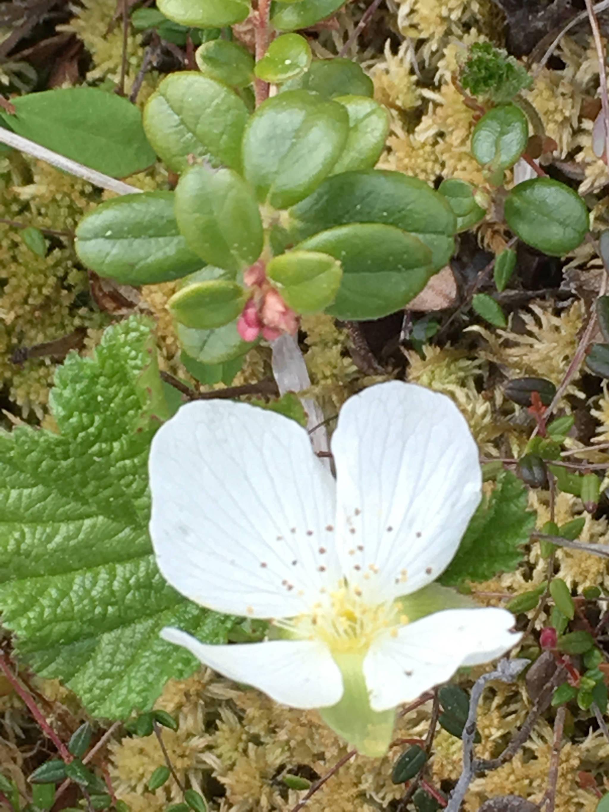
As a graduate student at Lehigh University, my research centers specifically on vegetation changes in peatlands. Peatlands are wetlands, often dominated by sphagnum-moss or sedges, where the pace of vegetation decomposition is slower than the rate of vegetation accumulation.
Over time, thick layers of decomposed plant deposits build up. And these deposits of plant material hold tremendous amounts of carbon. In fact, northern latitude peatlands cover just 3% of the earth’s surface but hold about 30% of the world’s soil carbon. This means the soils on the Kenai Peninsula and elsewhere in most of Alaska serve as a critical global carbon repository.
A first step in understanding how to keep the carbon in the soil and to protect wildlife habitats is to understand where and why vegetation is changing.
I will use statistical modeling to compare the 2014 NASA image-data, to image-data NASA plans to collect (over the same locations) later this summer. My goal is to use this high-resolution data to quantify where and how vegetation has changed on the Kenai over the past five years.
Now the paper maps I’ve been staring at for so long are a living, breathing, breathtaking landscape. I’m ready to go out and look at vegetation on the ground. I’ll be trying to turn those data into something useful. Some sort of knowledge that can help keep the Kenai its ageless, beautiful self.
Heidi Cunnick is a PhD candidate in the Department of Earth and Environmental Sciences, Lehigh University, Bethlehem, PA. Find more Refuge Notebook articles (1999-present) at https://www.fws.gov/Refuge/Kenai/community/Refuge_notebook.html.
